The Real World in Computational Space
The Future is Autonomous
a GIX application
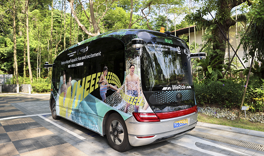
Autonomous Vehicles & Electric Vehicles: Building the Future of Smart Mobility
Autonomous vehicles and electric vehicles are transforming how people and goods move in cities. By combining driverless technology with clean energy, these systems reduce congestion, improve safety, and lower emissions. Together, they form key components of future smart mobility, integrating with traffic systems, infrastructure, and spatial intelligence to create efficient and sustainable urban environments.
-
 Autonomy
Vehicles navigate and respond safely without human intervention.
-
 Electrification
EVs reduce emissions and support cleaner urban environments.
-
 Integration
Together they connect with traffic networks, infrastructure, and spatial data for smarter city mobility.
Why Location Matters for Autonomous Cars
-
High-precision digital maps guide vehicles
Autonomous vehicles rely on centimeter-level digital maps that encode lane geometry, road boundaries, elevation, and infrastructure details. These spatial layers provide the contextual framework that allows vehicles to interpret their surroundings accurately.
-
Real-time positioning & navigation
Precise positioning systems continuously update a vehicle’s location relative to its environment. By combining GNSS, onboard sensors, and spatial algorithms, vehicles navigate dynamically and respond to changing road conditions.
-
Integration with traffic & sensor networks
Autonomous systems connect with traffic signals, roadside sensors, and broader mobility networks to enhance awareness and coordination. This spatial integration enables adaptive routing, congestion management, and safer interactions within complex urban environments.
High-Definition Mapping
Lane-level accuracy
High-definition (HD) maps locate vehicles within specific lanes, not just on a road segment. This centimeter-level precision allows autonomous systems to understand exactly where they are and how to position themselves safely.
3D road geometry
HD maps capture the three-dimensional shape of roads, including curves, slopes, and elevation changes. This helps vehicles anticipate turns, hills, and complex intersections before they physically reach them.
Traffic signals & road markings
Digital maps include detailed information about traffic lights, stop lines, crosswalks, and lane markings. By knowing these elements in advance, vehicles can make safer and more predictable driving decisions.
Built using LiDAR & spatial data
These maps are created using advanced sensors such as LiDAR, cameras, and other geospatial data sources. The result is a highly detailed digital model of the real world that vehicles can continuously reference while driving.
Electric Vehicles & Spatial Planning
Location. Assessment. Prediction.
-
Optimal placement of charging stations
Geospatial analysis identifies high-demand corridors, residential gaps, and underserved neighborhoods for strategic charger deployment. Location modeling ensures infrastructure is both efficient and equitable across urban regions.
-
Range & accessibility analysis
Spatial modeling evaluates driving ranges relative to charging availability, road networks, and travel behavior. This helps identify accessibility gaps and reduces range anxiety through data-informed planning.
-
Energy demand forecasting
Integrating mobility patterns with spatial energy data enables forecasting of charging demand across districts and time periods. Predictive models support grid readiness, load balancing, and long-term infrastructure investment decisions.
GIX in Action
Analyze traffic patterns
Integrate real-time and historical mobility data to understand congestion, flow dynamics, and high-risk zones. Spatial analysis reveals how road design, demand, and behavior interact across networks.
Simulate autonomous routes
Use computational models to test routing strategies under different traffic and environmental conditions. Simulations evaluate efficiency, safety, and system performance before real-world deployment.
Model safety risks
Identify accident hotspots and assess risk factors such as speed, density, and infrastructure design. Predictive spatial modeling helps anticipate potential failures and improve system resilience.
Support smart infrastructure planning
Guide the placement of sensors, charging stations, and connected transport infrastructure using geospatial analytics. Planning decisions are grounded in data, scalability, and long-term urban needs.

Shaping the Future of Cities
-
Reduced accidents
Data-driven routing and predictive risk modeling improve traffic safety and reduce human error. Autonomous systems can respond faster and more consistently than traditional driving environments.
-
Lower emissions
Optimized routes and smoother traffic flow decrease fuel consumption and congestion. Integrated planning supports cleaner, more sustainable mobility systems.
-
Smarter transport systems
Connected infrastructure enables real-time coordination between vehicles, roads, and control systems. Cities transition from reactive traffic management to adaptive, intelligent mobility networks.
-
New tech-driven careers
The rise of autonomous systems creates demand for expertise in spatial analytics, modeling, and smart infrastructure design. Students trained in GIX are positioned to lead in emerging mobility industries.